
Language
Java
Tool Type
Manual
License
GNU General Public License version 3
Version
15.0
MATSim
MATSim is an open source framework for agent-based transportation simulations, enabling detailed modeling of transportation systems and evaluation of urban mobility policies. By simulating commuter behavior and traffic interactions, MATSim provides a powerful tool for urban planners and designers, helping to forecast and optimize responses to changes in transportation infrastructure and policy. This simulation-based approach helps improve transportation planning, reducing costs and increasing the efficiency of mobility systems.
MATSim addresses challenges in planning complex transportation systems. It offers realistic simulations that allow urban planners to optimize transportation strategies and policies, improving the effectiveness of urban systems and reducing infrastructure risks.
Simulates individual travel behavior in large populations. Provides tools for traffic flow analysis and network modeling. Enables scenario testing and strategy evaluation.
Primarily developed in Java, it leverages the robustness and versatility of this language. Integrates multiple open-source licenses such as GPL-2.0, AGPL-3.0, and MIT, ensuring flexibility and compliance with open standards. Facilitates interoperability by supporting integration with other transport planning tools. Supports community collaboration and development, promoting an open and accessible ecosystem for transport analysis and simulation.
Connect with the Development Code team and discover how our carefully curated open source tools can support your institution in Latin America and the Caribbean. Contact us to explore solutions, resolve implementation issues, share reuse successes or present a new tool. Write to [email protected]
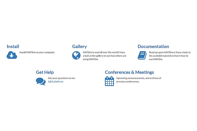
MATSim options: Installation, global gallery, documentation and tutorials, question platform support, and conference announcements. Visual icons accompany each option.
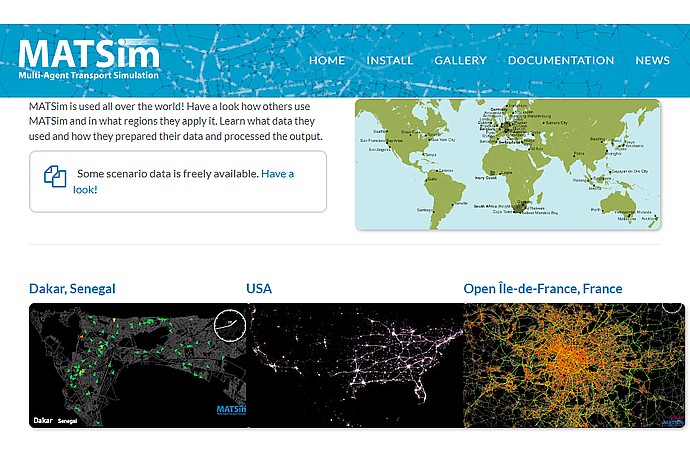
This image features the Matsim (Multi-Agent Transport Simulation) software's global usage map and visual simulation data for specific regions, including Dakar, USA, and Île-de-France.
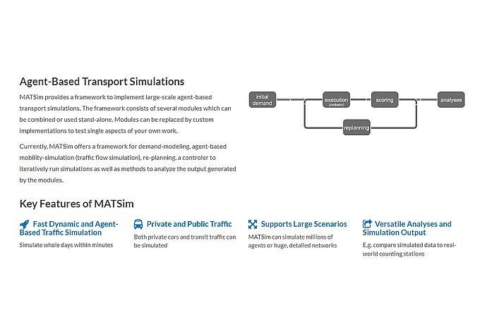
This image provides an overview of the Matsim framework for agent-based transport simulations, highlighting its modularity, key features, and the simulation process flow.
Framework for large-scale agent-based transportation simulations.
Additional information and resources related to MATSim.