Language
Python
Tool Type
Plugin
License
GNU General Public License version 3
Version
1.0.0
LLACTALAB

MESUE is a QGIS plugin designed to assess the sustainability of the urban environment. It uses criteria from the built environment, biophysical, urban mobility and socio-spatial dynamics, based on the SSAM (Spatial Sustainability Assessment Model) plugin. Developed by LlactaLAB Sustainable Cities of the University of Cuenca, MESUE responds to the need to understand urban form and its sustainability. It is shared to allow the measurement and analysis of sustainability indicators in urban environments, facilitating the planning and improvement of public policies.
MESUE addresses the need to comprehensively evaluate urban sustainability, providing a tool that integrates various indicators to analyze and improve urban planning and public policies.
Integrates with QGIS for spatial data handling. Utilizes urban sustainability indicators for comprehensive analysis. Supports geolocalization for precise environmental assessments. Facilitates data visualization for better understanding of urban dynamics. Open-source tool, accessible to researchers and urban planners.
Built with Python, ensures extensive compatibility and flexibility. Integrates JavaScript for dynamic web functionalities, enhancing user interaction. Utilizes HTML and CSS in interface design, ensuring a consistent visual experience. Compatible with QGIS 3.10.2 or higher, facilitates interoperability with geospatial systems. Adopts the GNU General Public License V3.0, promoting open-source distribution and collaboration.
Connect with the Development Code team and discover how our carefully curated open source tools can support your institution in Latin America and the Caribbean. Contact us to explore solutions, resolve implementation issues, share reuse successes or present a new tool. Write to [email protected]
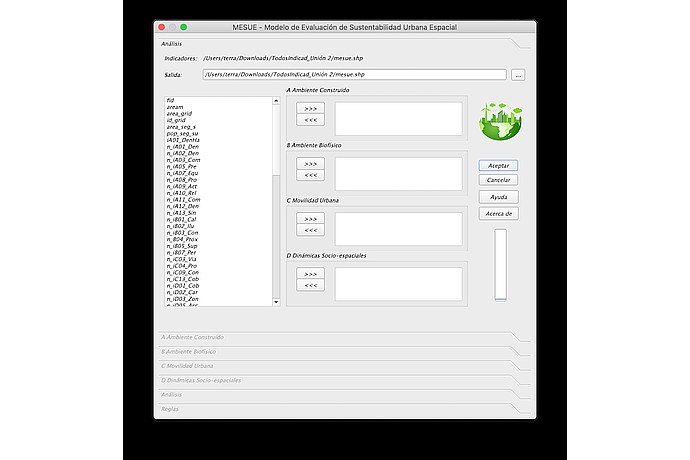
MESUE software window to assess urban sustainability. Displays indicator lists like "n_IA01_Den" and categories like "Built Environment" with "Accept" and "Cancel" buttons.
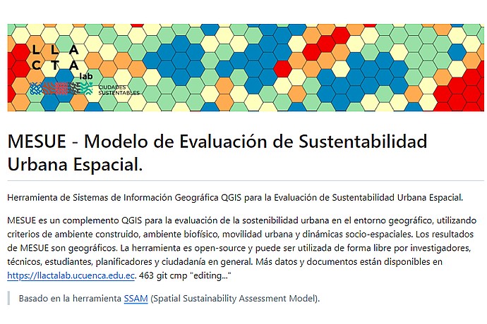
Llacta Lab logo with multicolor hexagonal pattern. Text: "MESUE - Spatial Urban Sustainability Evaluation Model", an open QGIS tool for measuring urban sustainability. More at llactalab.ucuenca.edu.ec.
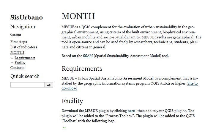
This image displays a webpage snippet for MESUE, a QGIS plugin for urban sustainability assessment, describing its requirements and installation guide for users.
Information about MESUE and other urban sustainability projects from the LlactaLAB research group at the University of Cuenca.