Language
Javascript
Tool Type
Desktop app
License
GNU General Public License version 3
Version
2.0
Data Uruguay
In My Neighborhood is a platform developed from Fix My Street, created in 2007 by mySociety. This platform allows citizens to report damages, defects, vandalism and other urban problems, facilitating direct communication with local governments. This tool seeks to transform the interaction between citizens and local governments, promoting citizen participation and empowerment to solve urban problems. It is part of DATA's Open Cities program, which promotes human development and the improvement of societies through technologies based on open data.
Por Mi Barrio addresses the lack of communication and collaboration between citizens and local governments, allowing effective interaction for the identification and resolution of urban problems through an accessible and participatory platform.
Community-based issue reporting. Direct communication with local authorities. Tracking and updates on issue resolution.
Built with open technologies such as Perl, HTML, JavaScript, and CSS. Adopts responsive design for mobile compatibility. Includes social media integration for easy login. Its structure follows web standards that ensure an accessible and adaptable experience.
Connect with the Development Code team and discover how our carefully curated open source tools can support your institution in Latin America and the Caribbean. Contact us to explore solutions, resolve implementation issues, share reuse successes or present a new tool. Write to [email protected]
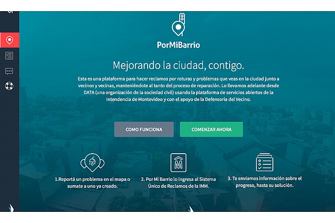
PorMiBarrio Platform: allows reporting of urban issues in Montevideo. Includes "How it works" and "Start now" buttons. 3-step process: report, submit complaint, receive updates.
This image pertains to the pormibarrio.uy homepage, explaining domain purchase and transfer. It highlights Dan.com's Buyer Protection Program, ensuring secure transactions, fast transfers, and hassle-free payments.
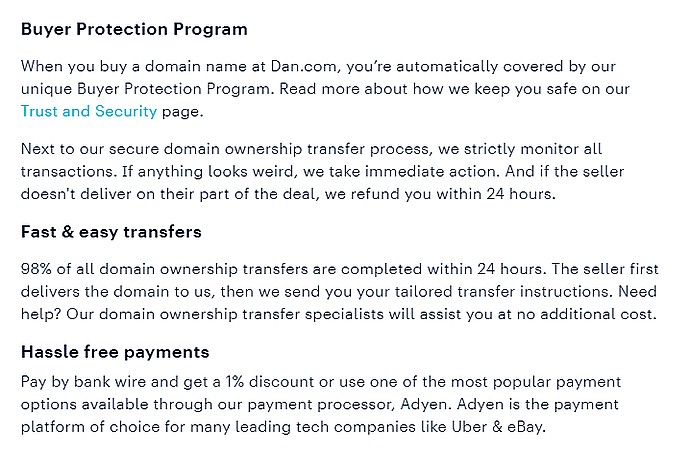
The image provides information about the Dan.com service. It includes a Buyer Protection Program, quick and easy transfers, and hassle-free payments with discount options.
Operation and objectives of the platform.
Visual introduction to the platform and its use.
Version in Costa Rica: Palmares and Osa
Case highlighted by My Society International
Civic tech in Montevideo: lessons from Por Mi Barrio