Language
Python
Tool Type
Web app
License
Apache License, Version 2.0
Version
3.129.3
Prozorro.Sale JSC

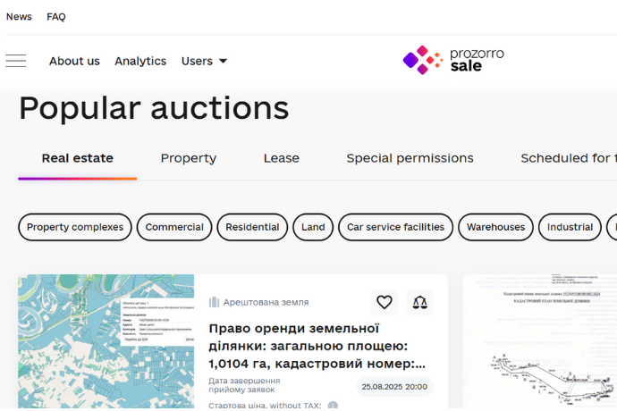
Prozorro.Sale is an e-auction ecosystem that facilitates the sale and leasing of government and municipal assets. It acts as a comprehensive platform that promotes transparency and efficiency in these processes, connecting the public sector with private markets. The tool allows officials to effectively manage the disposition of state assets, ensuring open access to data. Its design combines a government management system with e-markets, optimizing interaction between the public and private sectors.
The tool addresses the lack of transparency and efficiency in the sale and leasing of government and municipal assets. It facilitates a faster and more cost-effective process, reduces operating costs, strengthens accountability, and improves public trust, contributing to the achievement of the Sustainable Development Goals.
The tool facilitates the transparent sale and leasing of government and municipal assets. It combines a government core with private markets, maximizing revenue, reducing operating costs, and strengthening transparency and public trust, contributing to the Sustainable Development Goals.
HTTPS, SSL, WebSocket HTML/CSS OpenAPI JSON, YAML OCDS (partial compliance, has dedicated service for proper data exporting)

Connect with the Development Code team and discover how our carefully curated open source tools can support your institution in Latin America and the Caribbean. Contact us to explore solutions, resolve implementation issues, share reuse successes or present a new tool. Write to [email protected]

Access available lots, auction results, and signed contracts, with details by category, location, seller, and more.

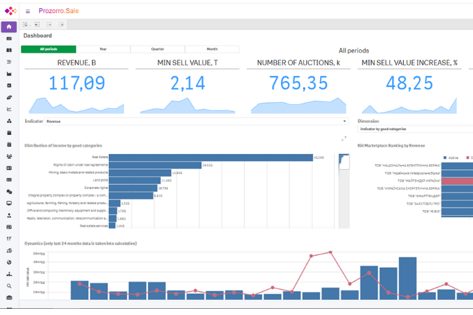
Analytical tools to track results, monitor competition, analyze trends, and evaluate asset sales and leases with visual dashboards. Includes NPS tracking.

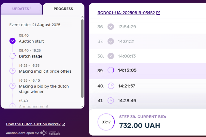
Buyers can participate in auctions through any of the connected e-marketplaces, in a simple and interoperable manner.
Electronic public auction ecosystem.
Practical guide to participating in auctions.
Real cases: clinics, driving schools, etc.
International description of innovation.
