
Language
PHP
Tool Type
Web app
License
GNU General Public License version 3
Version
1.0.0
Inter-American Development Bank

SATM is a Tax Management System designed to optimize public administration through the use of Information and Communications Technologies (ICTs). Its objective is to streamline, secure and make tax operations transparent, improving efficiency in daily tasks and strengthening interaction with taxpayers. This system stands out for its ability to adapt to various tax needs, evidenced in its implementation in several locations, such as the Province of Chubut and cities such as Esquel and Trevelin. For more details, visit www.isurgob.com. The SATM incorporates specialized modules, such as the Tax Module, which facilitates the generation of reports and receipts in accordance with current regulations, and the Security Module, which manages access to the platform. It uses open source technologies, including PostgreSQL, Apache 2.4, and the Yii 2.0 framework, ensuring a robust and flexible architecture. This approach allows public administrations to improve their tax services effectively and safely.
SATM solves the problem of inefficiency, security and lack of transparency in the tax operations of the public administration, using ICTs to streamline processes, improve interaction with taxpayers and adapt to different tax needs. Its robust and flexible architecture, based on open source technologies, ensures the improvement of tax services in a safe and effective manner.
Administrative Management: SATM enables municipal authorities to manage administrative tasks, including budgeting, resource allocation, and procurement. Citizen Services: The system supports the delivery of municipal services to citizens, including permit applications and service requests. Resource Allocation: Users can efficiently allocate and manage municipal resources, ensuring optimal utilization. Reporting and Analytics: SATM offers comprehensive reporting and analytics to derive insights from municipal data.
Implements a web-enabled architecture using the MVC design pattern, ensuring an organized and efficient structure. Ensures interoperability, scalability, reliability, and customization through WebServices integration. Operates on a Linux server with PostgreSQL as the database and Apache as the web server, using PHP 7.0. Incorporates additional PHP libraries to enhance functionality. Requires a modern web browser for the client.
Connect with the Development Code team and discover how our carefully curated open source tools can support your institution in Latin America and the Caribbean. Contact us to explore solutions, resolve implementation issues, share reuse successes or present a new tool. Write to [email protected]
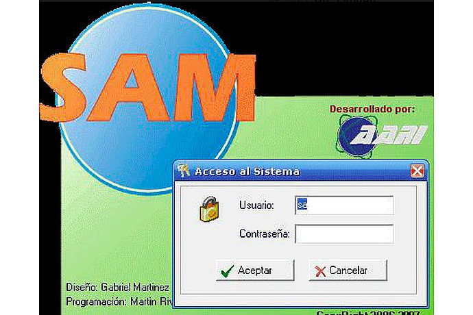
This image shows a screenshot of the “SAM” software login window, developed by “A2TI”, with user and password fields, and accept/cancel buttons
This image shows a flowchart for a WEB-GIS application, illustrating the components and flow of data from user interface to spatial data
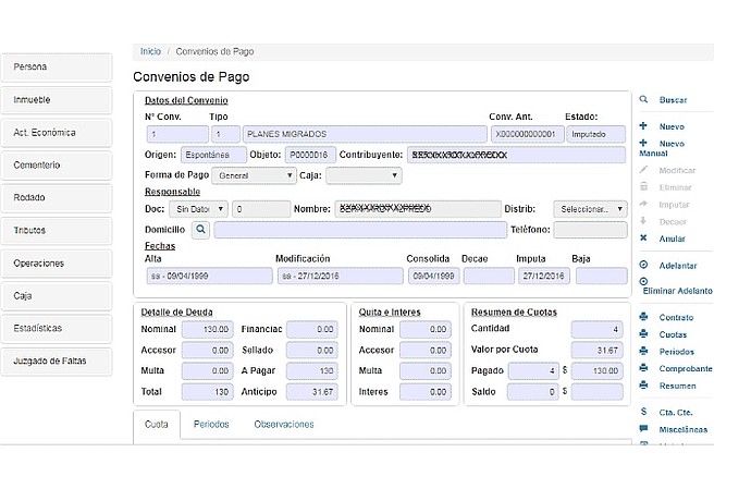
"Payment Agreements" screen showing details of an agreement with taxpayer information and "Allocated" status. Includes debt amounts, interest, and installment summary. Left side menu.
IDB project related to digital solutions for local taxation.