
Language
Python
Tool Type
API, Algorithm
License
AM331-A3
Version
1.0.0
Inter-American Development Bank

SentinelDownloader makes it easy to obtain satellite data from Sentinel-1, Sentinel-2, Sentinel-3 and Sentinel-5P from the European Space Agency. Specializing in data collection, analysis and visualization, this project simplifies image processing for end users. Developed by the Office of Strategic Planning and Development Effectiveness of the Inter-American Development Bank, SentinelDownloader seeks to overcome barriers to accessing satellite data. Its objective is to enhance the effectiveness of development projects through the efficient use of satellite information, offering a practical solution for the asynchronous download of data from the Copernicus Open Access Hub.
Accessing and managing satellite images for Earth observation and analysis can be complex. Sentineldownloader addresses this problem by providing a platform that simplifies the acquisition and management of sentinel mission images, benefiting remote sensing professionals and researchers involved in a wide range of applications.
Image Acquisition: SentinelDownloader often includes tools for downloading and accessing satellite imagery from the Sentinel missions. Data Management: The platform supports efficient data management, enabling users to organize and process the acquired imagery. Remote Sensing: Users can often apply remote sensing techniques to analyze the Earth's surface and make informed decisions.
Implements asynchronous programming in Python to optimize data retrieval. Supports satellite data from Sentinel-1, Sentinel-2, Sentinel-3, and Sentinel-5P, ensuring interoperability with open standards. Utilizes AsyncIO, AIOfiles, and AIOhttp for efficient asynchronous downloads. Allows configuration through YAML files or command line, providing operational flexibility. Requires registration with Copernicus Open Access Hub for access to Sentinel data.
Connect with the Development Code team and discover how our carefully curated open source tools can support your institution in Latin America and the Caribbean. Contact us to explore solutions, resolve implementation issues, share reuse successes or present a new tool. Write to [email protected]
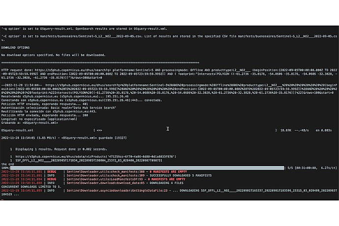
SentinelDownloader screen showing file download. Indicates search for Sentinel-5 data dated 2022-09-05; result: 1 file downloaded. Notice of empty manifests; 4 files downloaded.
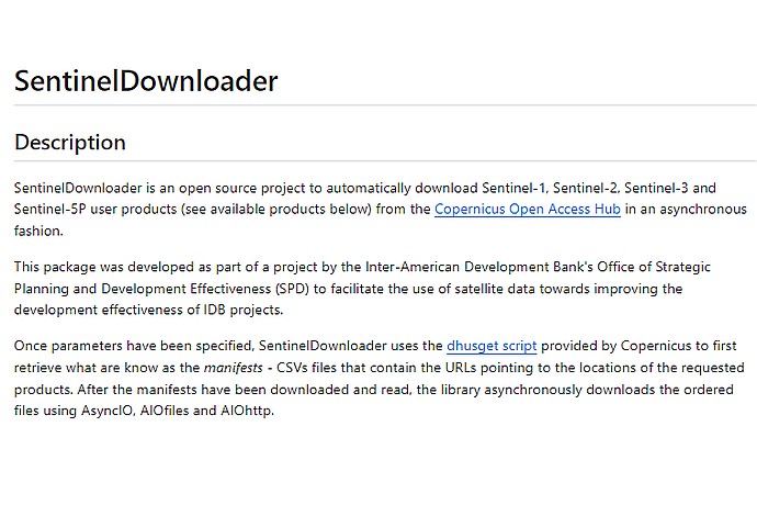
SentinelDownloader is an open-source project for automatically downloading Sentinel user products from the Copernicus Open Access Hub asynchronously, using tools like AsyncIO.
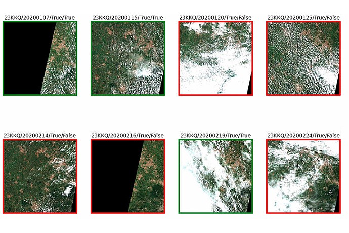
Eight images in two rows show satellite maps framed in green or red. The dates range from January to February 2020, with labels like "True/True" and "True/False".
Official portal to access data from Sentinel satellites.
Platform that facilitates access and processing of Sentinel data.
New ecosystem to access Copernicus data.
Video tutorial on how to download 10m resolution Sentinel-2 images.