Language
Python
Tool Type
Algorithm
License
AM331-A3
Version
1.0.0
Inter-American Development Bank

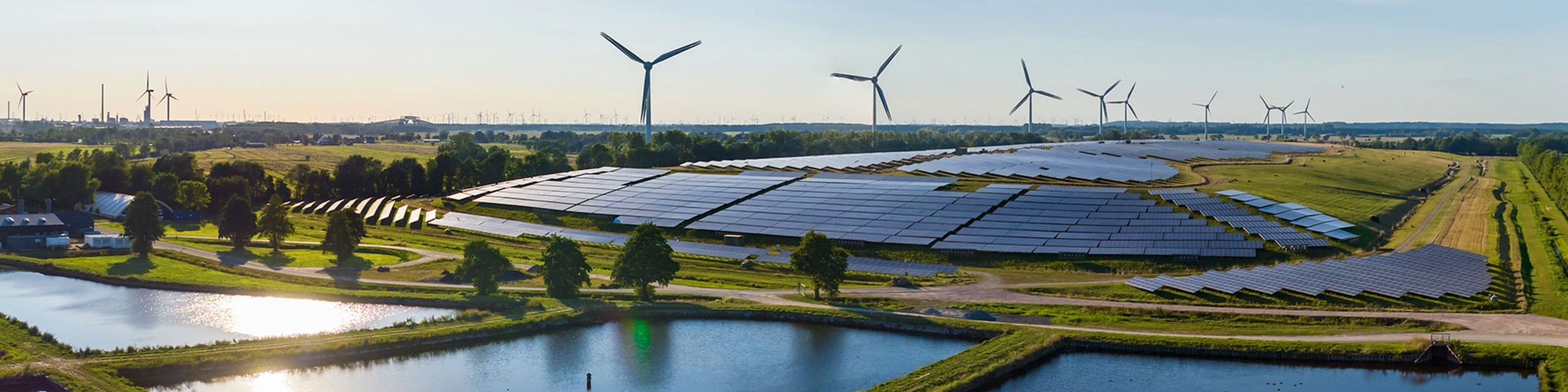
SunScan BID is a tool that estimates rooftop solar energy potential using satellite imagery and the SAM model. It uses Google Colab notebooks to facilitate interaction, eliminating the need for a local development environment and streamlining the process for users. It allows specific areas to be selected for analysis through Google Satellite tiles, making the analysis accessible and customizable. It integrates energy, geolocation, and image processing algorithms for data collection, analysis, and visualization.
SunScan BID solves the problem of costly assessment of solar potential on buildings, providing an economical and accurate method to estimate solar generation capacity and encourage the adoption of renewable energy in regions with limited access to traditional assessment technologies.
Use Google Colab notebooks to facilitate interaction with the model. Employs the tms2geotif tool to access Google Satellite imagery, allowing users to select specific analysis areas. Converts selected areas to GeoTIFF images for analysis. It applies the SAM model to detect and segment roofs in satellite images. Estimate solar energy potential by calculating available area, evaluating solar exposure, and considering solar panel efficiency.
Optimizes operations and model interaction using Google Colab. Accesses and converts Google Satellite images to GeoTIFF via tms2geotif. Integrates the SAM model for roof detection and segmentation. Employs Python and Jupyter Notebook as primary programming and execution environments. Utilizes open-source libraries for GIS data manipulation and analysis, promoting interoperability and the use of open standards.
Connect with the Development Code team and discover how our carefully curated open source tools can support your institution in Latin America and the Caribbean. Contact us to explore solutions, resolve implementation issues, share reuse successes or present a new tool. Write to [email protected]
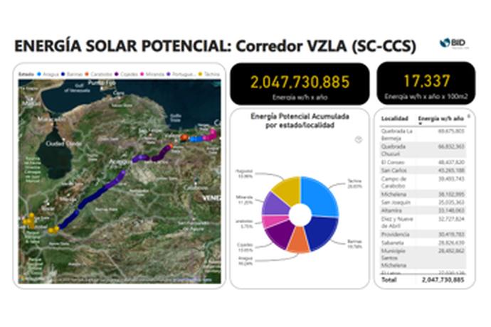
"SunScan BID" image shows a map of the VZLA (SC-CCS) corridor with a solar energy pie chart. Annual total: 2,047,730,885. Highest energy location: Guatire with 469,962,717.

This image displays a computer vision research advert, featuring the 'Segment Anything Model (SAM)' AI model from Meta AI, capable of cutting out any object from an image with one click. The tool provides segmentation with zero-shot generalization to unfamiliar objects and images, without additional training.
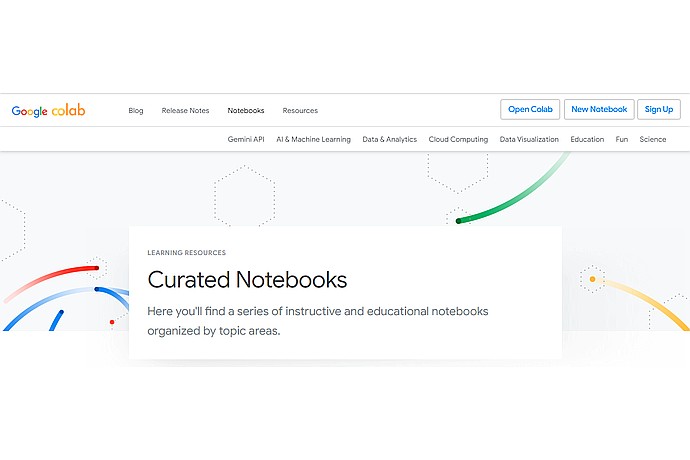
This image displays the Google Colab interface, a collaborative notebook platform for programming. It highlights the "Curated Notebooks" section, which offers educational and instructive notebooks organized by topic areas.
IDB analysis of how SunScan IDB uses artificial intelligence to estimate rooftop solar potential.
Online workshop that explains step by step how to implement and use the SunScan BID tool.
Document that mentions the use of SunScan BID as a roof simulator for photovoltaic projects.
This IDB article discusses the optimal sanitation initiative and mentions the development of SaniHUB, a software for the design of sewer and decentralized sanitation systems.