Language
Java
Tool Type
Web app, Mobile app, Desktop app
License
Apache License, Version 2.0
Version
6.9.2001
Traccar Ltd.

Traccar is a GPS tracking system that delivers exceptional performance and stability, compatible with Windows, Linux, and other platforms. It can be hosted locally or in the cloud, with professional support options. It supports a wide range of GPS device protocols and models, from budget-friendly to high-end brands. Traccar's web interface is modern and accessible from desktop and mobile devices, with native applications for Android and iOS. It allows real-time tracking, offers multiple map options, and manages various sensors. Additionally, it provides instant notifications and a variety of exportable reports for detailed analysis.
Traccar solves the problem of fleet monitoring and management by providing a real-time GPS tracking system, compatible with a wide range of devices and protocols. It offers instant alerts and detailed reports, facilitating efficient supervision of vehicles and assets to enhance security and optimize operations.
Traccar is GPS tracking software that works on local or cloud servers and is compatible with Windows, Linux, and other operating systems. It supports multiple protocols and device models, offers a modern web interface and mobile apps, enables real-time tracking, sends instant alerts, and generates various reports.
Traccar solves the problem of fleet monitoring and management by providing a real-time GPS tracking system compatible with a wide range of devices and protocols. It offers instant alerts and detailed reports, facilitating efficient vehicle and asset monitoring to improve safety and optimize operations.

Connect with the Development Code team and discover how our carefully curated open source tools can support your institution in Latin America and the Caribbean. Contact us to explore solutions, resolve implementation issues, share reuse successes or present a new tool. Write to [email protected]

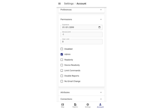
Manage user roles, limits, and permissions for secure and customized GPS tracking system administration.

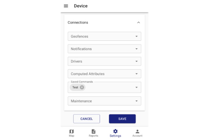
Link your device to geofences, notifications, drivers, and maintenance for full control from a single panel.

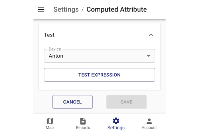
Create custom rules to transform your device data using computed attributes and logical expressions.
GPS tracking platform and servers.
Installation, devices and APIs.
News, announcements, and quick guides.
Questions, solutions and experiences.
