
Language
Python
Tool Type
Algorithm
License
GNU General Public License version 3
Version
0.2.2
Inter-American Development Bank

UrbanPy is a package of analytical functions designed to simplify urban management, allowing you to obtain geographic boundaries of cities, estimate populations, locate places of interest and calculate travel times. Developed in collaboration with the Universidad del Pacífico and the Municipality of Lima, it uses global open databases to offer accurate and efficient solutions in urban planning. In response to the challenges posed by the COVID-19 pandemic, UrbanPy has become a key tool to address issues of accessibility to essential services, such as health. It facilitates the identification of areas where the implementation of services is urgently required, allowing metropolitan governments to make informed decisions for effective distribution of resources. Its ability to integrate specific local data makes it an adaptable and relevant solution for urban planners in Latin America and the Caribbean.
Urban planning and research often requires extensive data collection and analysis, which can be time-consuming and complex. There is a need for a tool that can quickly and accurately process high volumes of urban data, providing information on accessibility and other urban metrics. The lack of such tools can hinder effective planning and research, making it difficult to understand and address urban challenges.
With UrbanPy you can automatically download and map points of interest (pharmacies, banks, schools, transport stations, etc.) and estimate travel distance from each area of the city to the closest service point: Data Download: Retrieves open-source spatial data such as city limits, points of interest, and population estimates updated to 2020, with high spatial resolution and global coverage. Spatial Unit Analysis: Allows for the use of grid systems or administrative boundaries as spatial units. Routing API Integration: Calculates origin-destination matrices for various transportation modes. Travel Time Computation: Determines travel times from spatial units to the closest facilities. Data Visualization: Provides tools for mapping and visualizing urban metrics and results.
Built with Python, leveraging its robust geospatial ecosystem. Utilizes libraries like OSMNX and Geopandas for spatial operations and data management. Integrates routing capabilities, possibly requiring API keys for services like OSRM. Includes modules for interactive choropleth maps using plotting and other visualization libraries. Supports various data formats including shapefiles and tables for output.
Connect with the Development Code team and discover how our carefully curated open source tools can support your institution in Latin America and the Caribbean. Contact us to explore solutions, resolve implementation issues, share reuse successes or present a new tool. Write to [email protected]
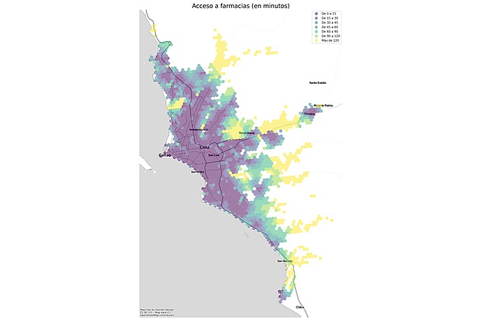
This image is a geographic map showing the access time to pharmacies in Lima, with color coding indicating time intervals from less than 5 minutes to more than 120.
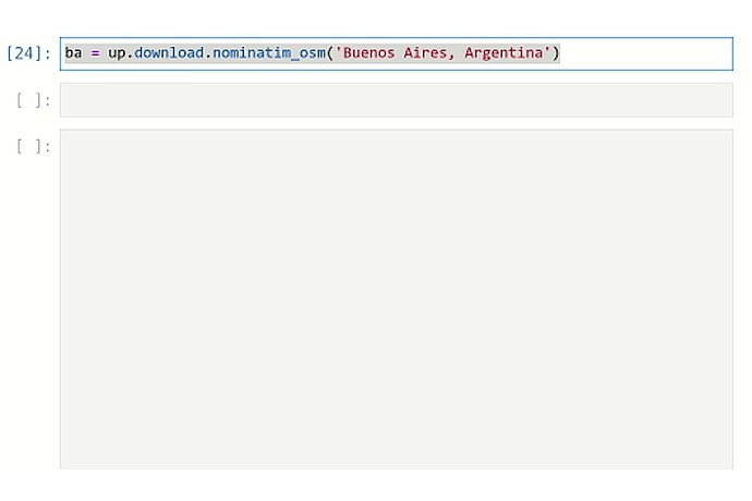
This image displays a simple plot of Buenos Aires, Argentina, likely representing a geographic boundary or shape, generated using Python's matplotlib and a geospatial library.
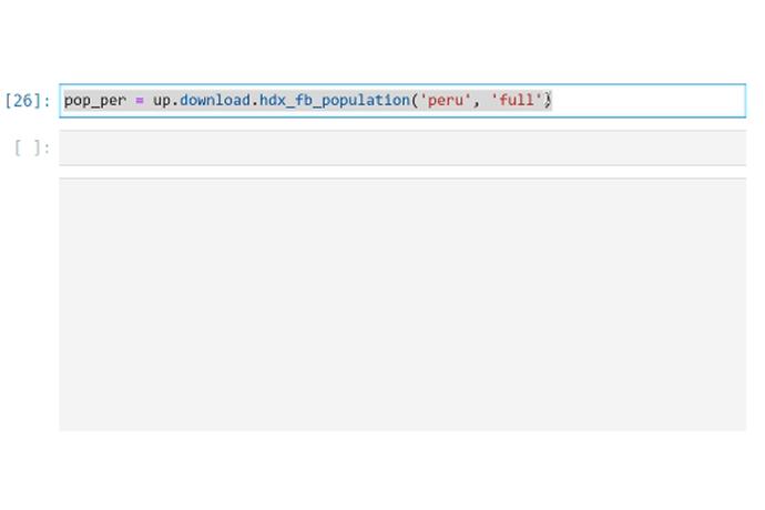
This image shows the output of a Python command, displaying a dataframe with columns for latitude, longitude, and population data for Peru for the years 2015 and 2020.
Pilot project with UrbanPy for school planning in Brazil.
Code4Dev Webinar: Learn how to implement the Urbanpy tool
Project that promotes the use of digital platforms to improve urban development and mobility in cities in Latin America and the Caribbean.
Presentation of UrbanPy, a tool that measures gaps in access to urban services.
IDB open tools for urban planning in the region.
Analysis of the use of big data to improve public services and urban planning, highlighting the case of Manta, Ecuador.