Language
Python
Tool Type
Desktop app
License
AM331-A3
Version
1.0.0
Inter-American Development Bank

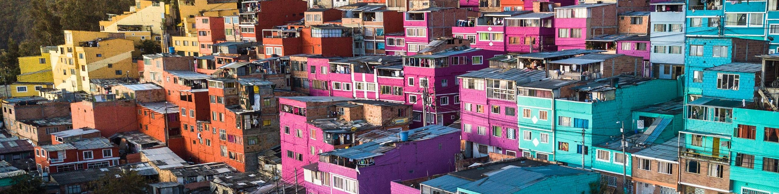
URSA is a comprehensive support system for urban planning, designed to facilitate access to satellite and urban data. Its main function is to collect, process and present vital information on the development and evolution of cities in Latin America and the Caribbean, becoming an essential resource for understanding urban growth. This system is the result of a collaboration between the Housing and Urban Development Division of the IDB and the Center for the Future of Cities of the Tecnológico de Monterrey. URSA seeks to offer municipal governments an accessible tool to obtain updated cartographic information, thus facilitating decision-making, planning and effective management of cities and metropolitan regions.
URSA solves the difficulty of accessing satellite and urban data for urban planning, offering a tool for the collection and analysis of information on the development of cities in Latin America and the Caribbean.
Harnesses satellite imagery to monitor urban development and changes. Processes geospatial data to provide actionable insights for city planning. Offers a user-friendly web interface for easy data visualization and analysis. Utilizes advanced algorithms to analyze and interpret complex satellite data. Facilitates decision-making by providing updated cartographic information.
Built with Python and JavaScript, it uses Python for backend development, optimizing satellite data processing, and JavaScript to create interactive web interfaces. Integrates GIS technologies, employing libraries like GDAL and PYGIS for precise geospatial analysis. Adopts web frameworks such as React.js and Flask/Django for a dynamic and responsive interface. Implements containerization with Docker, ensuring uniformity across multiple environments. Ensures cross-browser compatibility, enhancing accessibility and user experience.
Connect with the Development Code team and discover how our carefully curated open source tools can support your institution in Latin America and the Caribbean. Contact us to explore solutions, resolve implementation issues, share reuse successes or present a new tool. Write to [email protected]
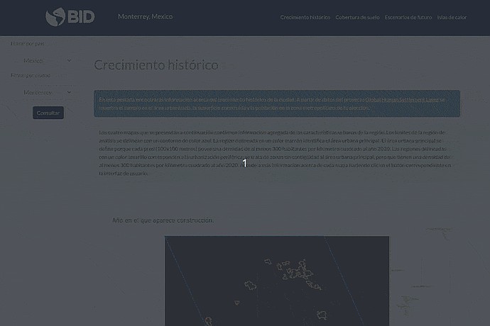
Website on the historical growth of Monterrey, Mexico, from the IDB. Features an animated map in sections with the legend "Year construction appears" and country query controls.
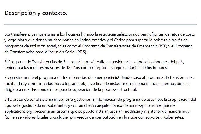
This image contains text in Spanish discussing monetary transfers to households as a short and long-term strategy in Latin America and the Caribbean to overcome poverty.
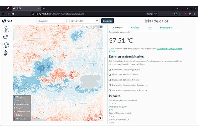
URSA map showing temperature in San Salvador, averaging 37.51°C. Areas in blue and red. Mitigation strategies such as vegetation and green roofs included.
Document detailing how URSA uses satellite data to support urban planning.
Code4Dev: Learn how to implement the URSA open source tool
It presents a set of open source tools from the IDB, including housing deficit estimation, to support urban planning in Latin America and the Caribbean.
Promotes the use of digital tools in urban planning and transit in LAC.
IDB analysis of how URSA facilitates urban planning through the use of satellite images.